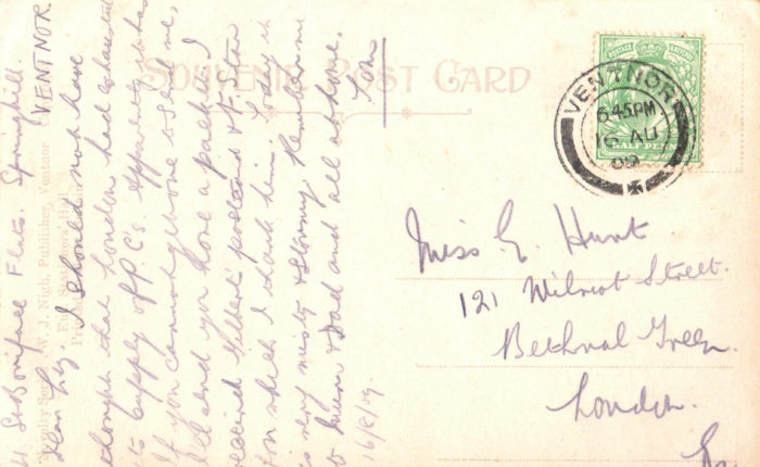
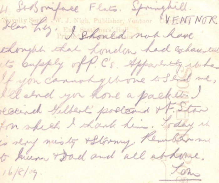
There are three parts to this post, the first deals with the history of the area up until 1938, the second the clearing, demolition and eventual development of the park and the third and final part details each street in turn.
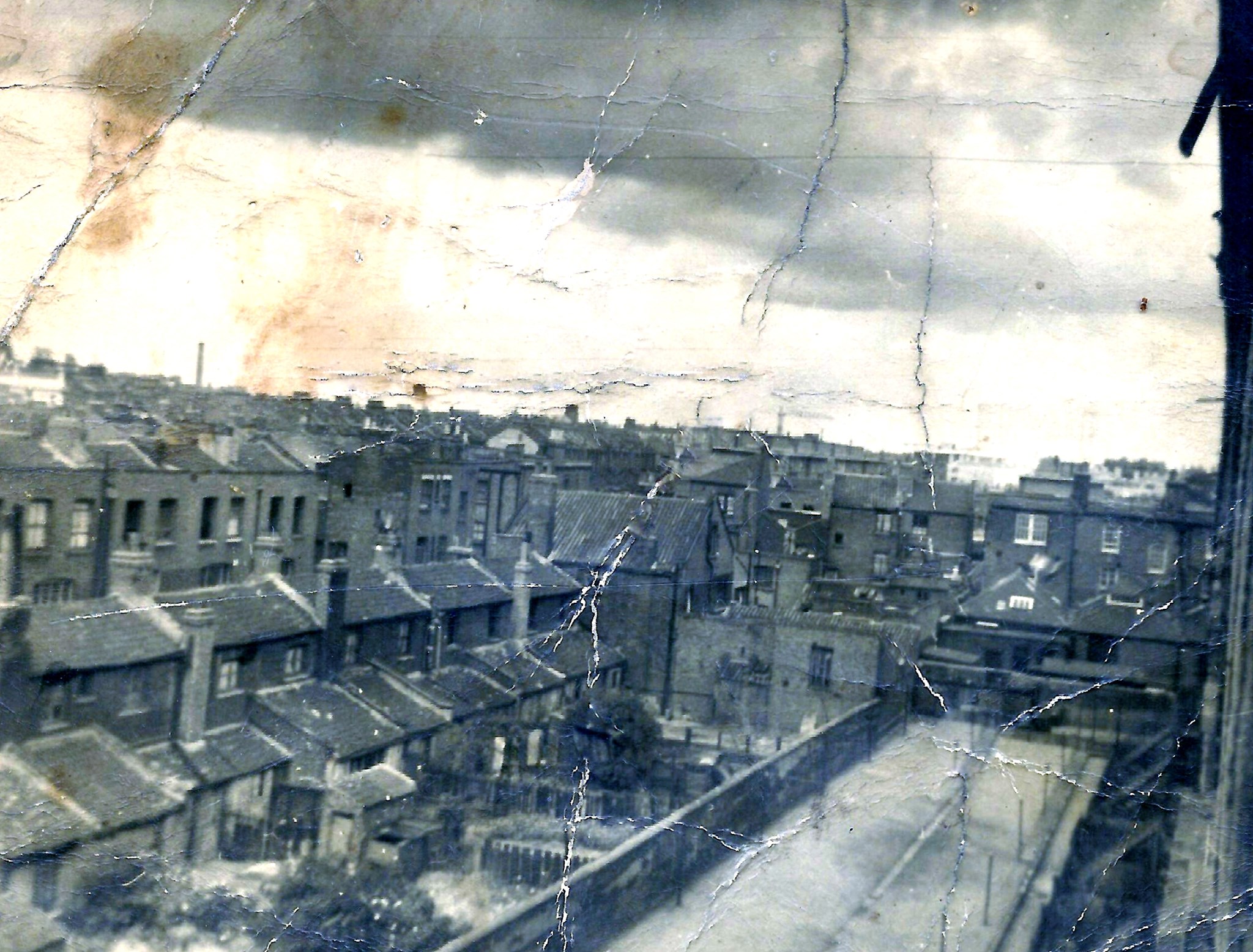
- Part one – Growth (1700 – 1938)
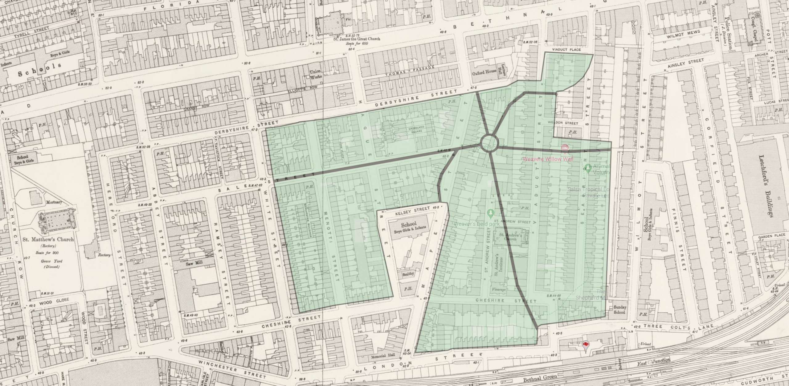
- Part two – Demolition (1938 -1968)
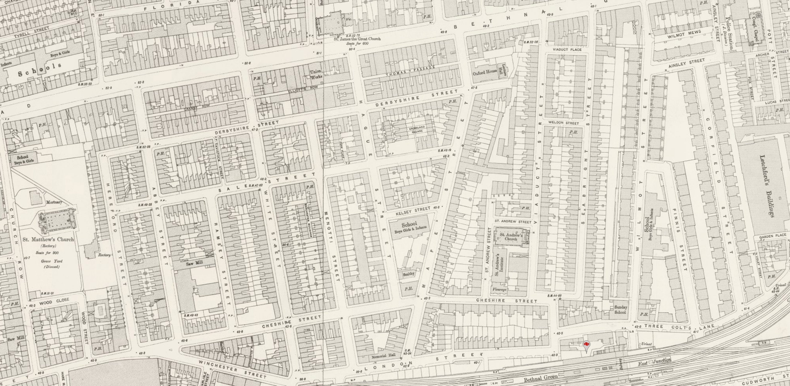
- Part three – The lost streets of Weavers Fields


Recent Comments