A Street Near You is a website that lists the records of those killed fighting in World War One, it allows you to search by an address to see just how many families were effected. I tried adding in the Waterlow Estate and was shocked to find just how many deaths there were in these streets – Look at the records here
Category: waterlow
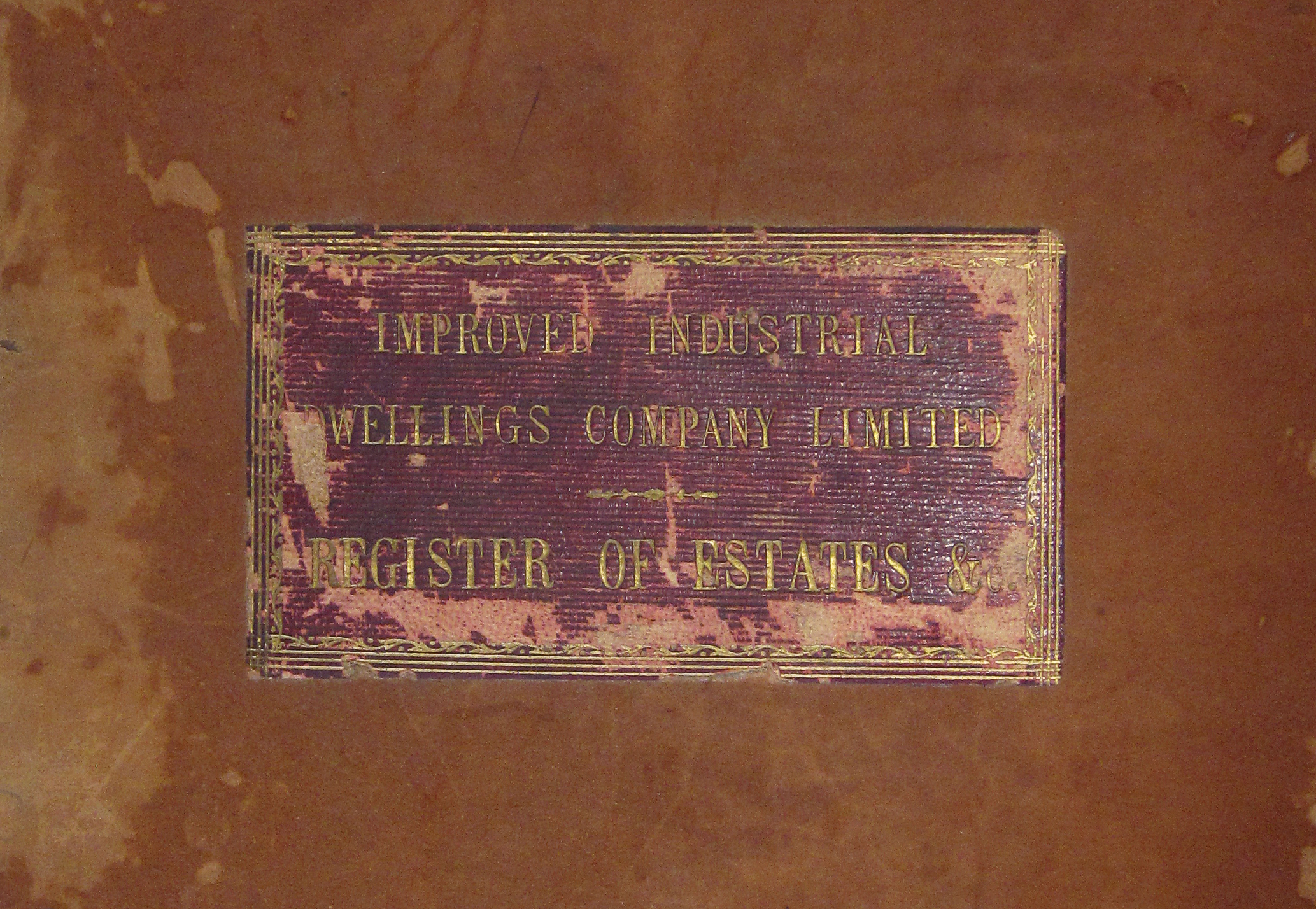
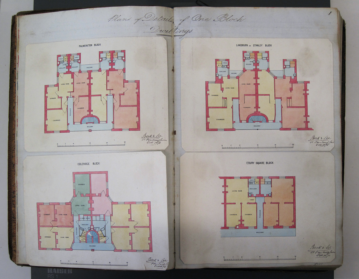
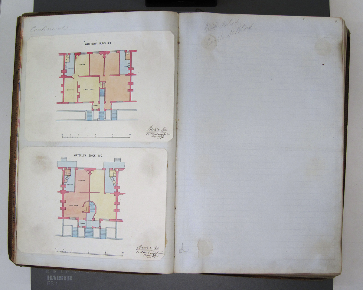
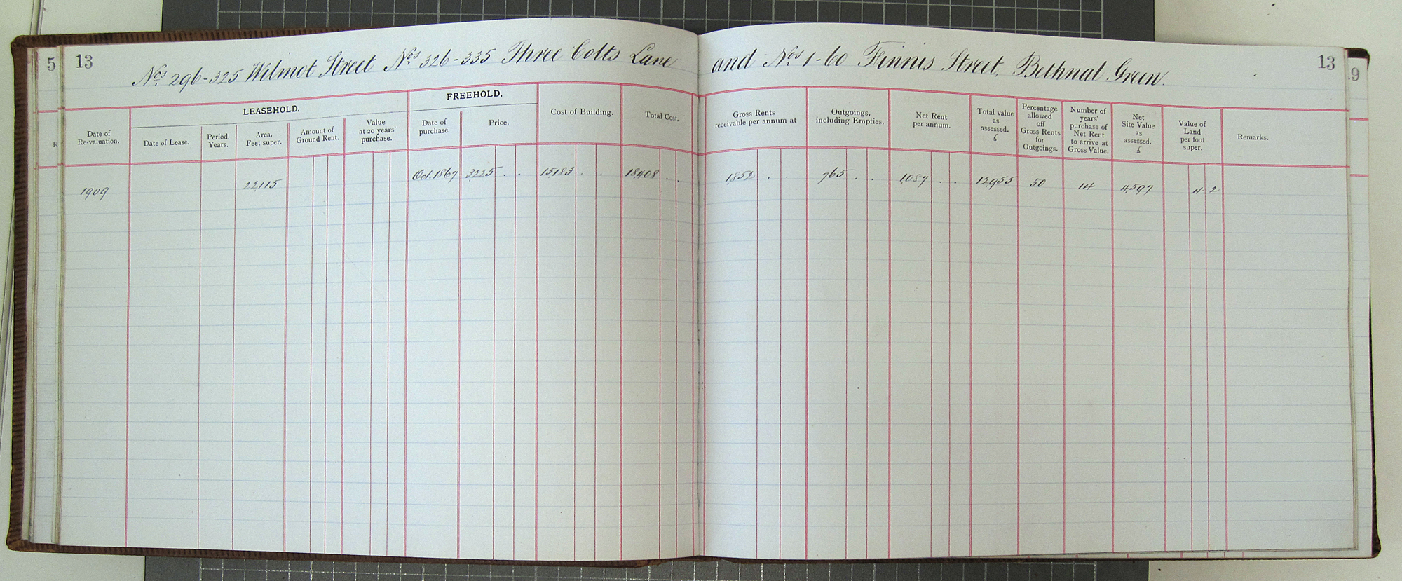
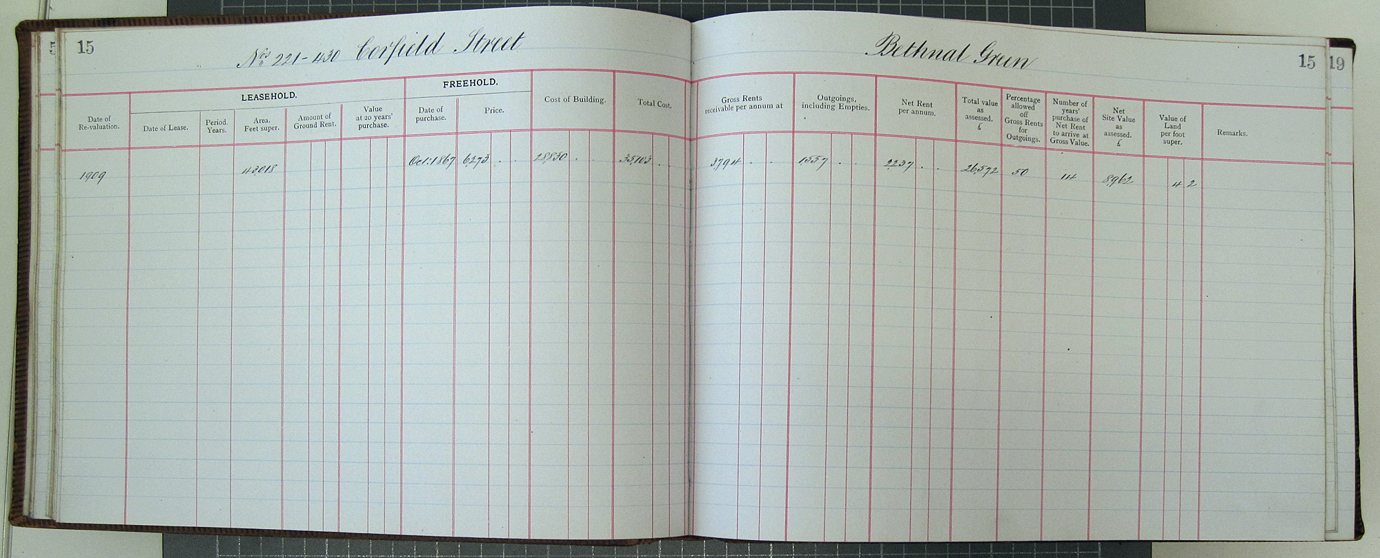
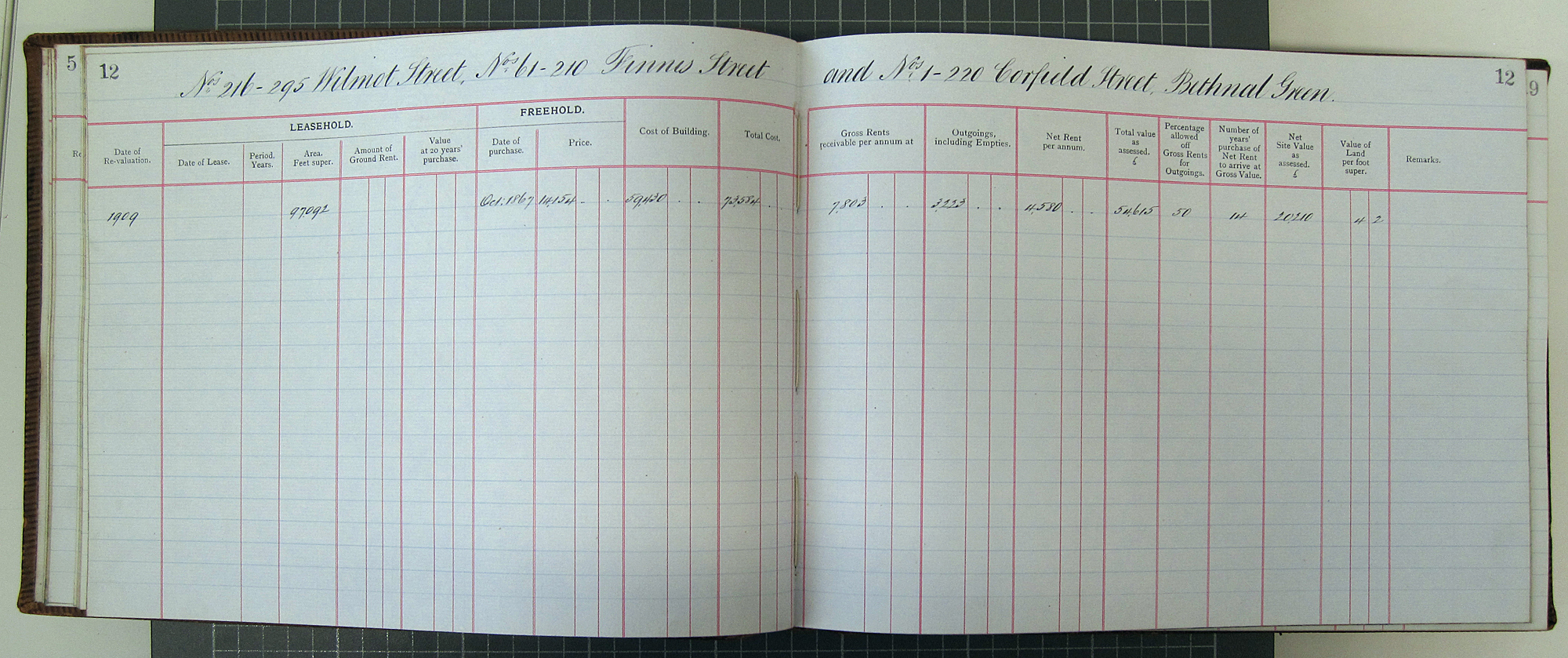
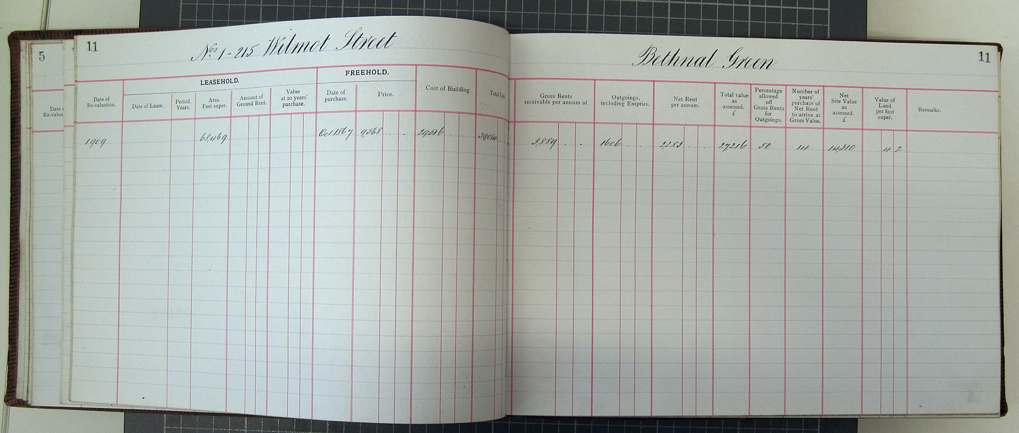
Here’s some pages from the Register of Estates :
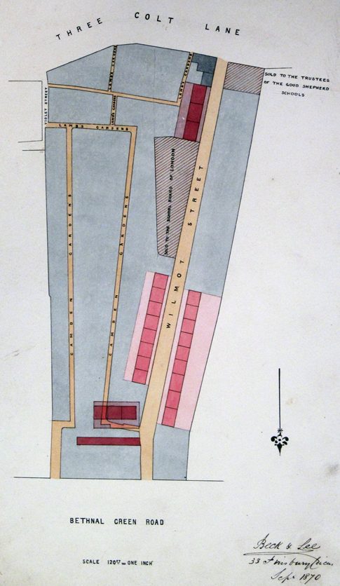
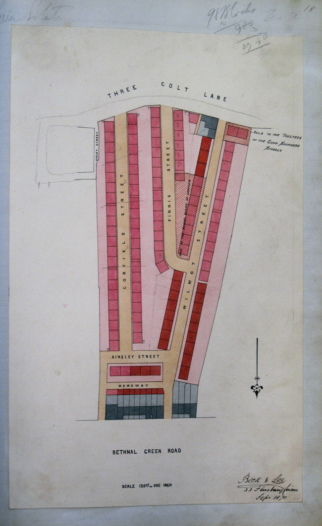
Looking at the plans below of the Estate as it stood in 1870 it seems that there were once blocks on either side of Corfield Street, where the Barrett style houses and Ainsley Gardens are now situated.
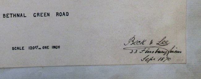
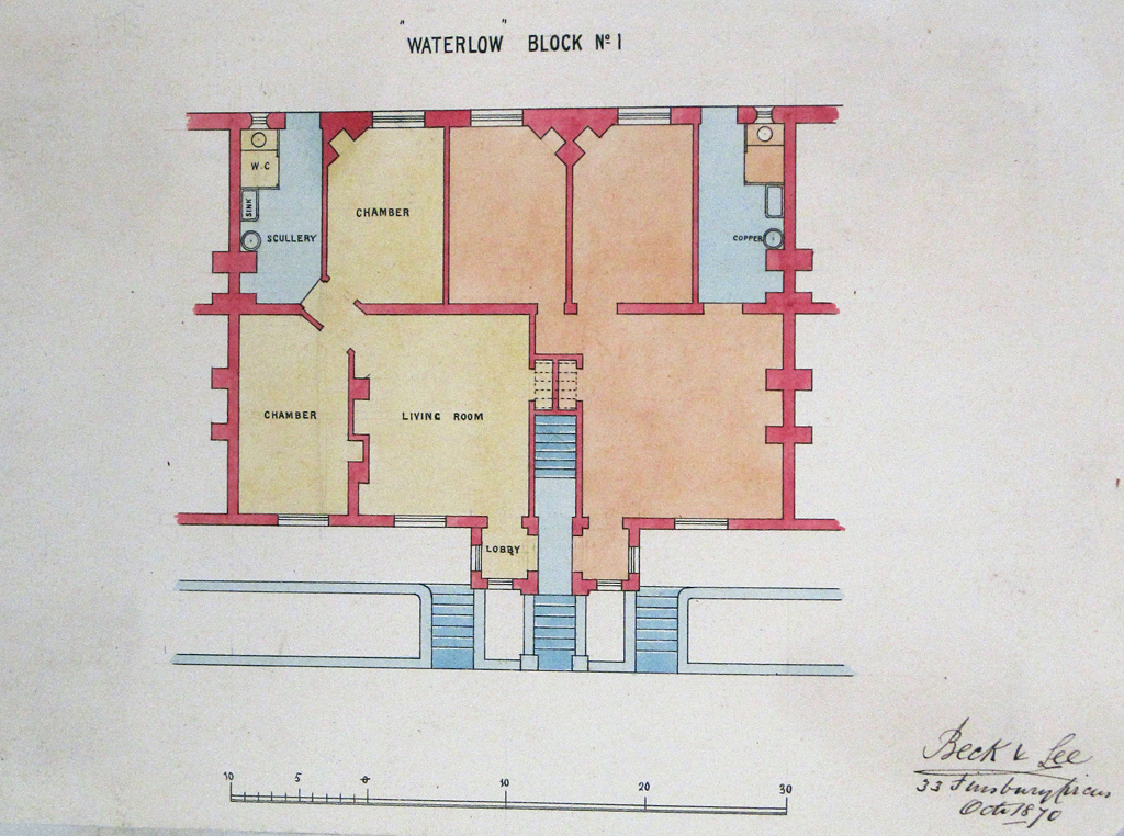
A close up of the signed and dated text :
There’s a page missing here, I wonder if that had featured the layout of the blocks on Corfield Street ? :
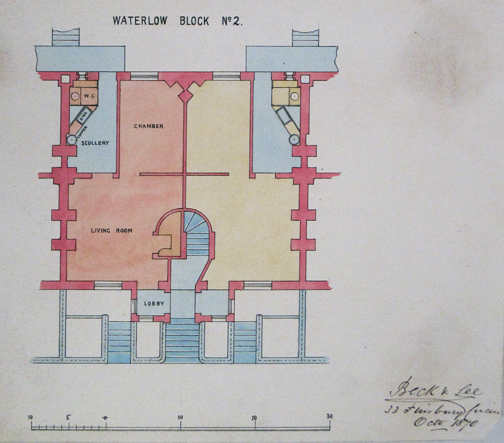
I think this is the layout of the blocks on the West side of Wilmot Street :
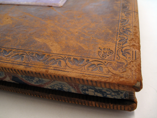
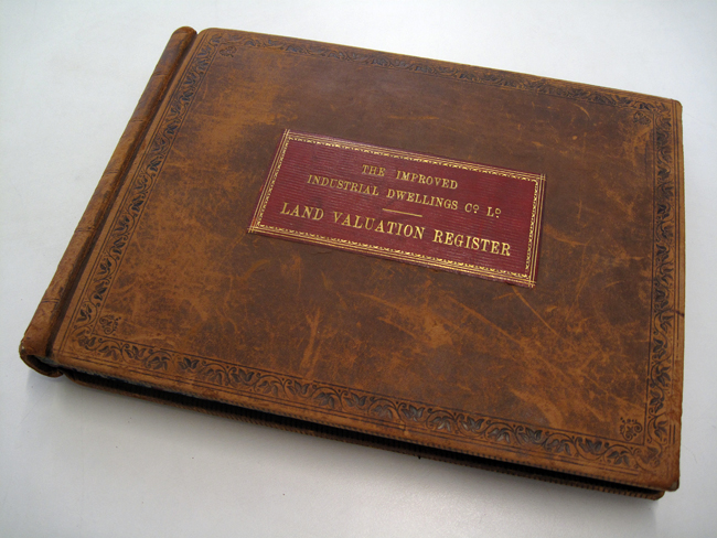
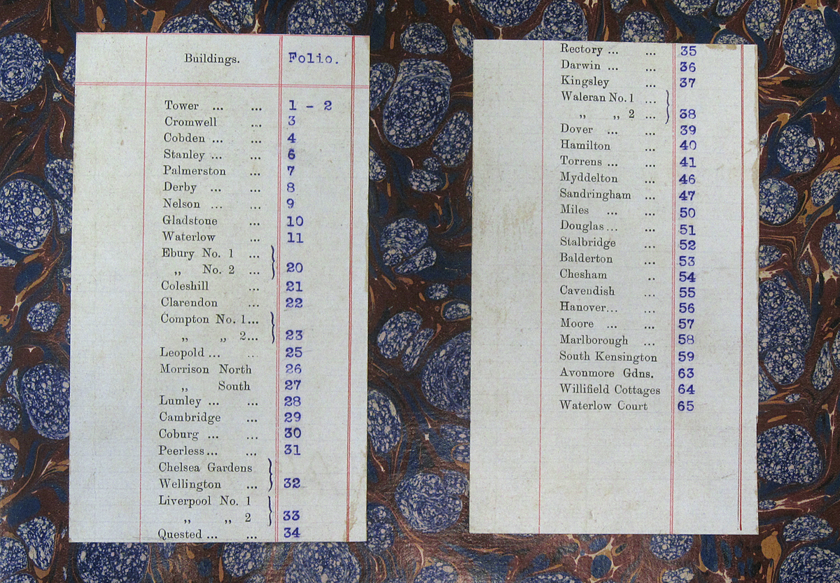
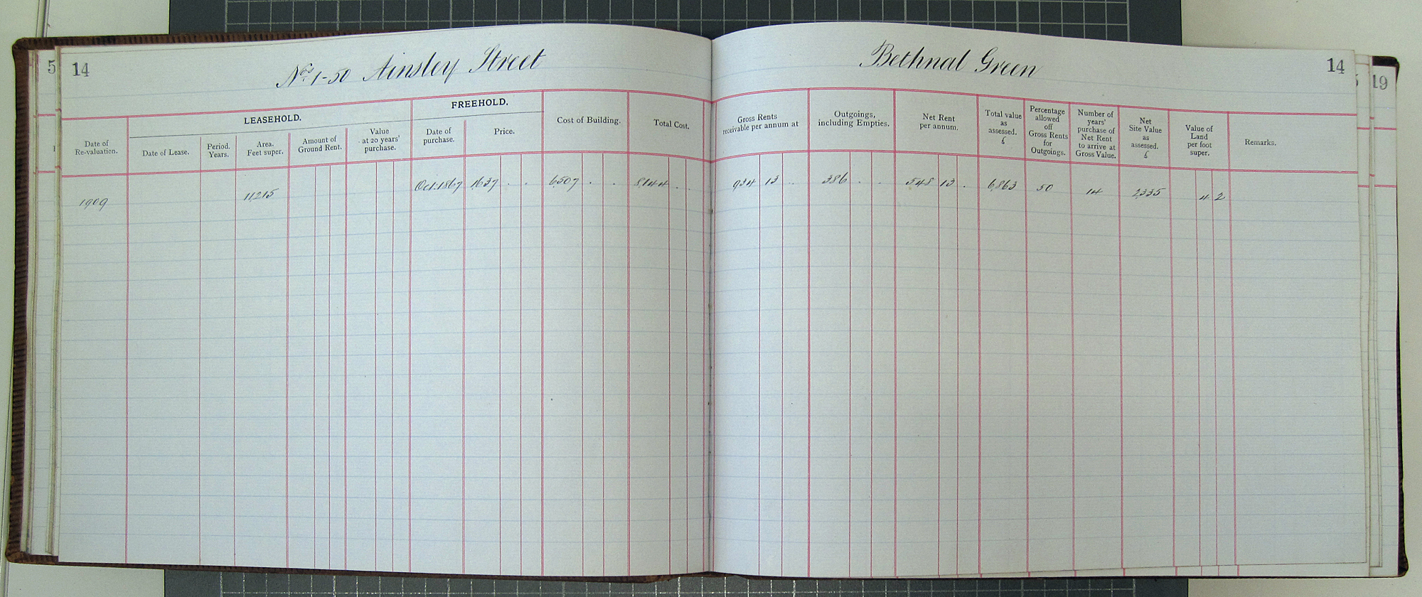
As mentioned in another post, I visited the Metropolitan Archive a little while ago and managed to get a look at two IIDC documents. There was a book of land valuations and another of plans for various blocks around London. Both books seemed to be very old or at least featured original plans and documents that were very old (the drawings are dated 1870).
The Waterlow Estate is the collective name for the Victorian blocks of flats lining Wilmot, Ainsley and Corfield Streets in Bethnal Green, London. It was constructed from 1869 to 1890 by Sir Sydney Waterlow’s Improved Industrial Dwellings Company. The two blocks nearest Bethnal Green Rd were built first, they would have been surrounded by the old weavers cottages which were eventually cleared as the road layout was progressively altered.
This quote gives a pretty clear picture of the order in which the Estate was constructed :
“The first blocks, in the north, opened in 1869. Homes for 72 families had been completed by 1871 and for another 130 by 1873 and 90 by 1875. The School Board for London purchased ½ a. between Wilmot and Finnis streets in 1873 and work began on 21 blocks (for 210 families) in the rest of Finnis Street in 1875 and on 12 blocks for 295 families in Corfield Road in 1878. The estate, later called Waterlow, complete by 1890 and the largest built by the company, was grim and canyon-like in appearance.”
Source : A History of the County of Middlesex by T.F.T. Baker
The photograph below is taken from what is now Finnis street (then Pettits Walk) looking northwest towards Bethnal Green Rd.
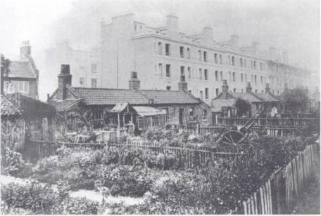
Looking at the scaffolding I’m assuming it was taken during the construction of the first two blocks. It’s interesting to see that the blocks weren’t quite the shape they are now, with the top floor being set back a little.
I visited the Metropolitan Archive recently and found a number of original IIDC documents. I’ll post a few more of them in the future but this plan shows the layout of the estate on the completion of the first blocks.
Extra bits,
A chapter about the establishment and layout of Bethnal Green Streets
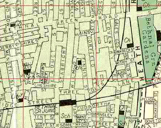
Maps showing the development of the nearby road layout
1853
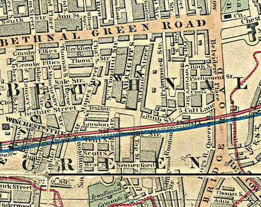
1882
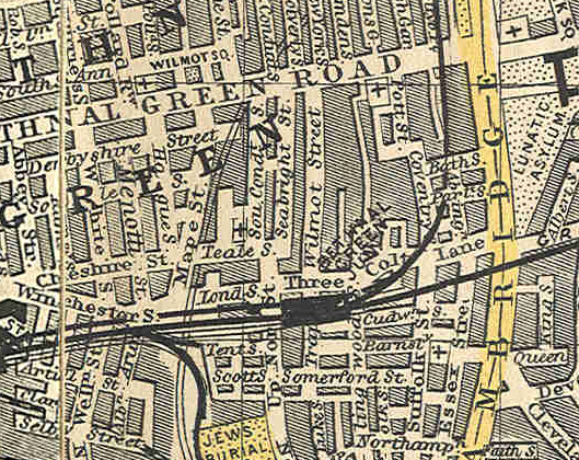
1952

Recent Comments